Level Design and Pathing Showcase
These are some isometric and overhead shots taken from in-editor to showcase the level design that went into creating these areas with regard to gameplay and player pathing.

Isometric view of overall map.

Top down view of full map without water.

Top down view of full map with water. Terrain LOD active.

Path leading from a cave to 2 points of interest. Trees used to guide players in either direction.

Path leading to a point of interest. Used distinct terrain texture to guide players to the top of the mountain.
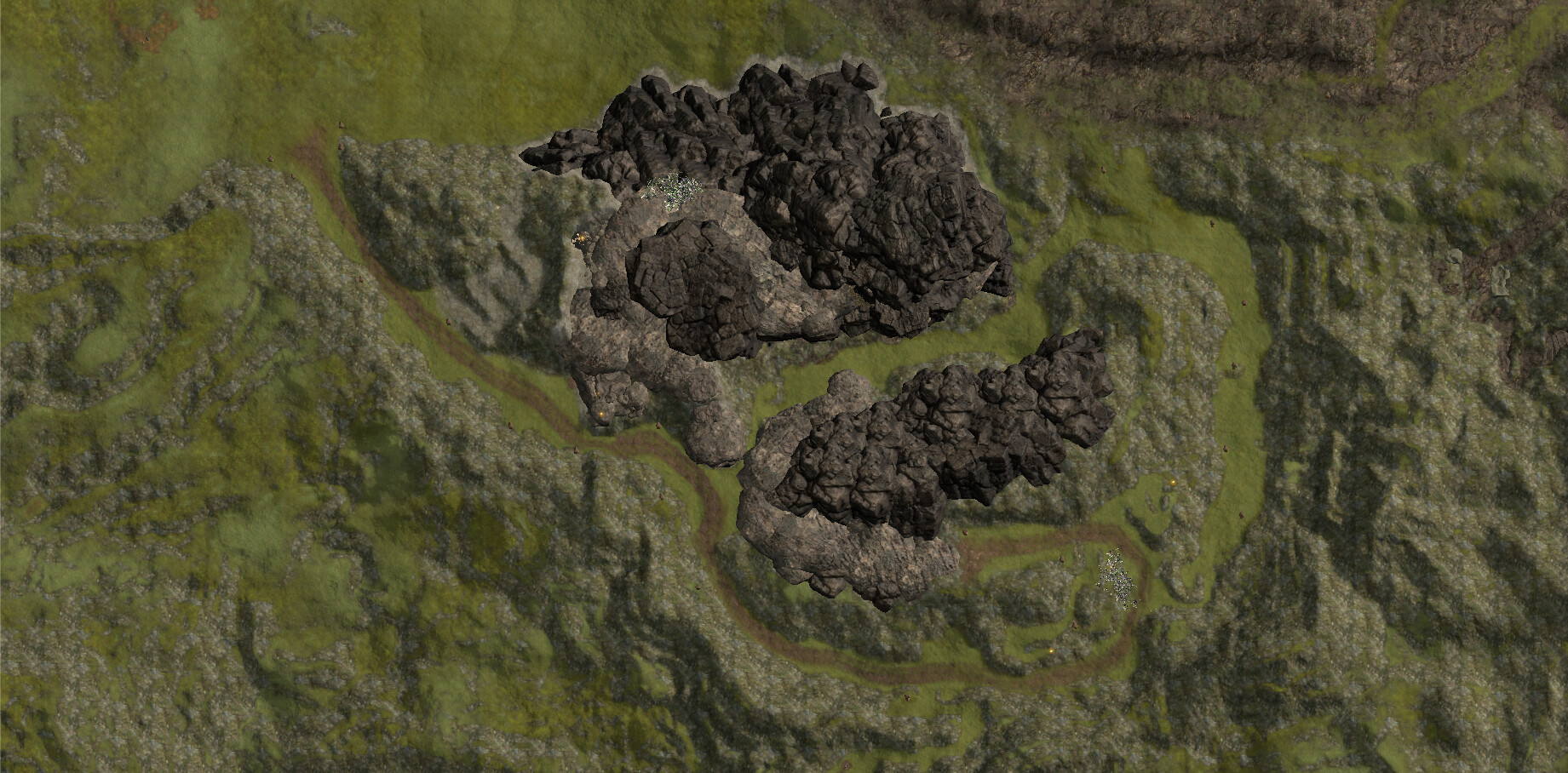
Overhead view of Mountain zone. Path created going around the back of the mountain to allow access from either direction. Main feature is a deep chasm between the 2 parts of the mountain allowing for gameplay challenge of crossing the chasm.

Isometric view of the east side of the Mountain zone.

Isometric view of the West side of the Mountain zone.

Overhead view of another point of interest. Obsidian area with grass to indicate walkable areas.

Overhead view of another point of interest. Grass paths lead player to different overlooks for rest of the map and the ocean.
Top down view of tutorial areas. Used tree wall (dirt texture shows where trees are in-game) and rocky cliff to keep players in zone until passing the 3 distinct tutorial areas.

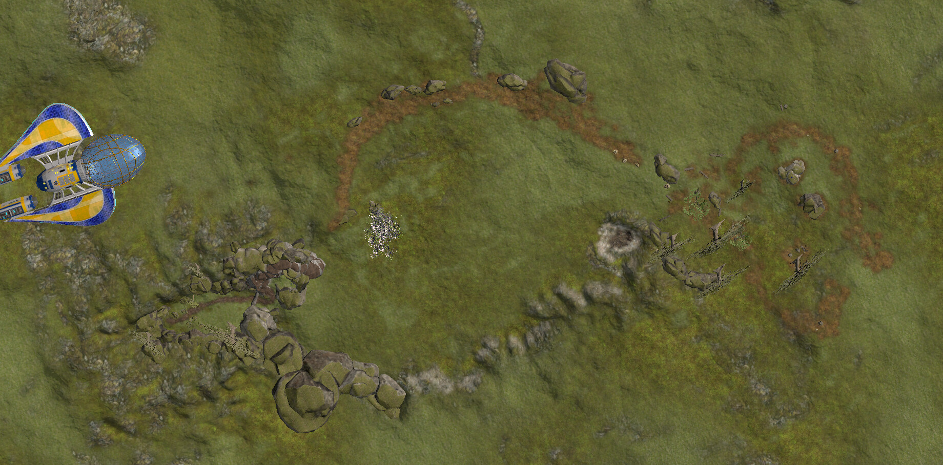
Overhead view of first tutorial area. Used distinct dirt path leading from spawn area to overlook, and then into second tutorial area.

Overhead view of the path to the top of the volcano. Use of rock structures to indicate the path to players.